The natural parc of High Fens is located on Belgium and German lands. Both countries collaborate to preserve the authenticity of its nature and its landscapes, in accordance with the inhabitants. Unfortunately, in April 2011, a fire led the parc authorities to close down some parts of the nature reserve.
With some Erasmus friends, we planned a hiking trip over a day: from Eupen (near Liège) to Signal de Botrange, the highest peek of Belgium. It should be a 22km hike. Last Sunday we left Ghent by train (2h30) and we started our walk around 10 o'clock from Eupen's train station.
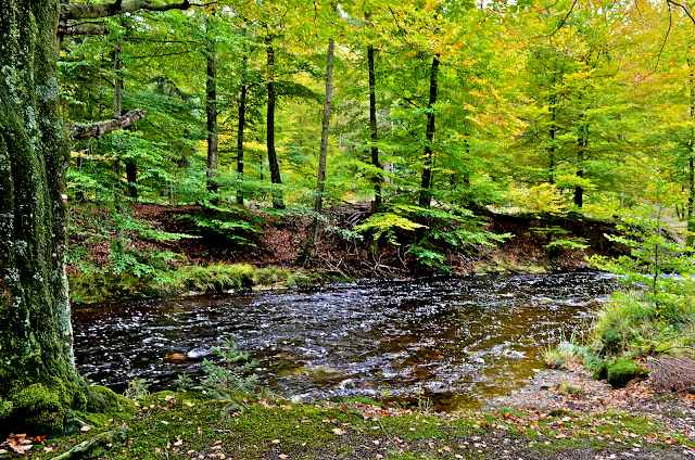
The plan was to follow the GR 573 trail from Eupen. But it took us almost an hour to find it, in the border of the city. The trail follows the Hill River, through forestry tracks and woodland paths in the forest. As always in Belgium (I've been told), it was very humid. Luckily, it didn't rain.
However, when we met other hikers in the forest, they told us different discouraging stuff:
- Signal de Botrange? Sorry I don't know.
- You go there on foot? I'll take you 3 days!
- You cannot go there. But you can go to Ternell if you take that way.
- Signal? Oh it's about 50kms from Eupen!
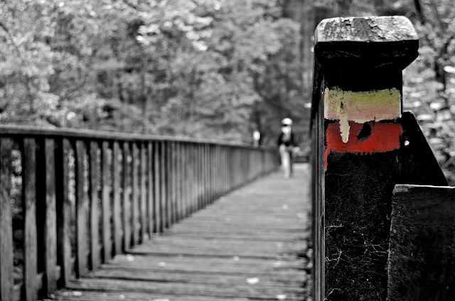
We hiked for 5 hours in the forest, trying to follow the red/white stripes of the GR, the feet covered with mud and having no idea where we're heading. Then we left the trail and walked one more hour towards Ternell. We didn't know what it was until we arrived to some kinda farm, with a restaurant and a small information office.
That's when we figured out we shouldn't have left the trail for Ternell but continued straight South to Signal de Botrange. But it was still 2-3 more hours of hike. Instead we were stuck 8km away from Eupen where we had to take the train. Eventually, we also missed the last bus by 20mn. That's why we decided to ask the restaurant clients to take the three of us by car to Eupen. A German drove us downtown in 10mn.
We got back in Ghent at 20.30 after a fun day in a Belgian forest hiking for 7 hours! Next time, I wanna do it straight until Signal de Botrange, even though the other Erasmus students — that actually did it the same day — said it wasn't worth it at all. Maybe some early winter snow will enhance the scenery a little :)
PS: live webcam of the High Fens:
 |
| GR 573 stripes |
- Signal de Botrange? Sorry I don't know.
- You go there on foot? I'll take you 3 days!
- You cannot go there. But you can go to Ternell if you take that way.
- Signal? Oh it's about 50kms from Eupen!
 |
| Maria |
That's when we figured out we shouldn't have left the trail for Ternell but continued straight South to Signal de Botrange. But it was still 2-3 more hours of hike. Instead we were stuck 8km away from Eupen where we had to take the train. Eventually, we also missed the last bus by 20mn. That's why we decided to ask the restaurant clients to take the three of us by car to Eupen. A German drove us downtown in 10mn.
 |
| Hill River |
PS: live webcam of the High Fens:


No comments:
Post a Comment